Massive datasets.
Bare-metal power.
From 10,000 to 100,000+ images.
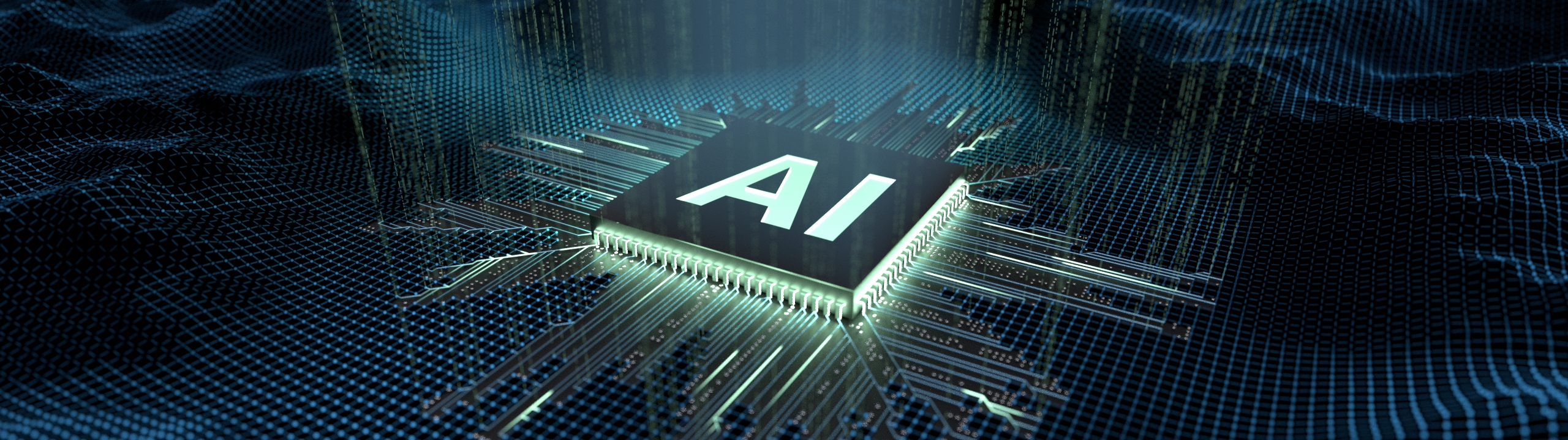
We don’t just process — we obliterate the bottleneck with NVIDIA Enterprise infrastructure.
We don’t use standard workstations. We deploy massive parallel processing on bare-metal NVIDIA GPUs tailored for photogrammetry.
Harnessing Blackwell, Xeon and Threadripper technologies for unprecedented speed in HPC photogrammetry processing.
Process thousands of images in hours, not days, with our Nvidia enterprise clusters.
Engineering-grade accuracy for geospatial applications.
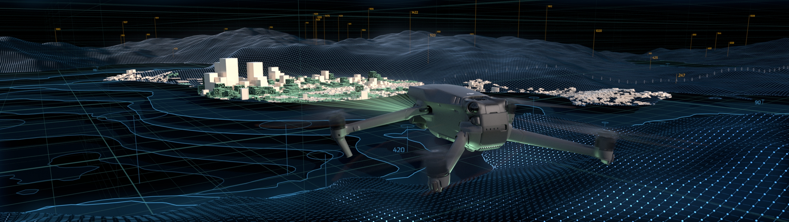
orthomap.eu is a leading provider of high-performance photogrammetry processing services, specializing in large-scale orthophoto generation for enterprise clients across the Globe.
With cutting-edge NVIDIA Enterprise infrastructure and a team of certified engineers, we transform massive aerial image datasets into precise geospatial products that drive decision-making in construction, mining, agriculture, and urban planning.
Fully GDPR compliant, with all data processed and stored within the EU.
Rigorous quality assurance by certified engineers for reliable results.
Get your processed orthophotos in as little as 24 hours with priority processing.
Trusted by leading organizations across Europe for mission-critical projects.
Construction
Mining
Agriculture
Urban Planning
Environmental
Infrastructure
Our streamlined four-step process ensures your project is completed efficiently and accurately, from initial upload to final delivery.
Securely transfer your aerial images via our encrypted upload portal or physical drive.
Our NVIDIA Enterprise infrastructure processes your dataset with precision and speed.
Certified engineers review and validate the output for engineering-grade accuracy.
Download processed data.
| Deliverable | Basic | Advanced | Premium |
|---|---|---|---|
| Orthomosaic (GeoTIFF) | |||
| Digital Elevation Model (DEM) | — | ||
| 3D Point Cloud (LAS/LAZ) | — | ||
| Textured 3D mesh | — | — |
Estimated Data Volume: 9.8 GB
Estimated Processing Time: 50 minutes
We accept all standard aerial image formats including JPEG, TIFF, RAW (DNG, CR2, NEF), and specialized formats from DJI, Parrot, and other commercial drones. Images should include EXIF data with GPS coordinates.
For datasets under 100GB, use our secure web upload portal. For larger datasets, we provide FTP access or you can ship physical drives. All transfers are encrypted and monitored.
We support all major coordinate reference systems including WGS84, UTM zones, national grid systems (ETRS89, OSGB36, etc.), and custom projections. Simply specify your requirements when submitting your project.
Yes, if you provide GCP coordinates, we integrate them into the processing workflow for enhanced accuracy. We can also consult on optimal GCP placement for your project.
Standard processing takes 2-5 business days depending on dataset size and complexity. Priority processing (24-48 hours) is available for urgent projects at a 25% premium.
With proper GCP integration, we achieve horizontal accuracy of 1-2 cm/pixel and vertical accuracy of 2-3 cm. Without GCPs, accuracy depends on GPS quality but typically ranges from 1-5 meters.
Absolutely. We sign NDAs, maintain EU data sovereignty, and comply with GDPR. All data is encrypted at rest and in transit, processed on dedicated infrastructure, and deleted upon project completion per your specifications.
You can cancel or request modifications before processing begins for a full refund. Once processing starts, we evaluate on a case-by-case basis. Contact our support team for assistance.
Still have questions?
Ready to transform your aerial imagery into actionable geospatial data?
Contact us for a detailed quote or consultation.
orthomap.eu
High-performance photogrammetry processing powered by NVIDIA Enterprise infrastructure.